-
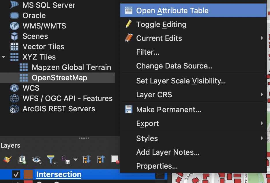
Open the attribute table of the buildings that intersect with the drawn polygon.
-
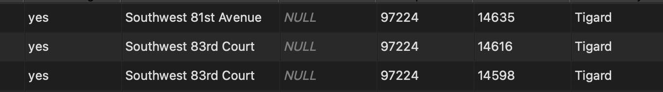
Scroll through and do a quick data validity check. It should look like addresses. This one looks good.
-
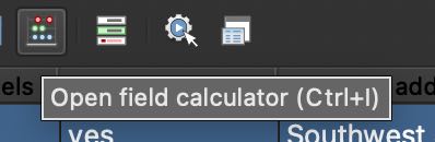
Open the field calculator.
-
Create a new field named
state. OSM data doesn’t come with it and Stannp will want it. Make sure this menu looks the same as what you’re putting in! Set the name to the appropriate state. Click OK.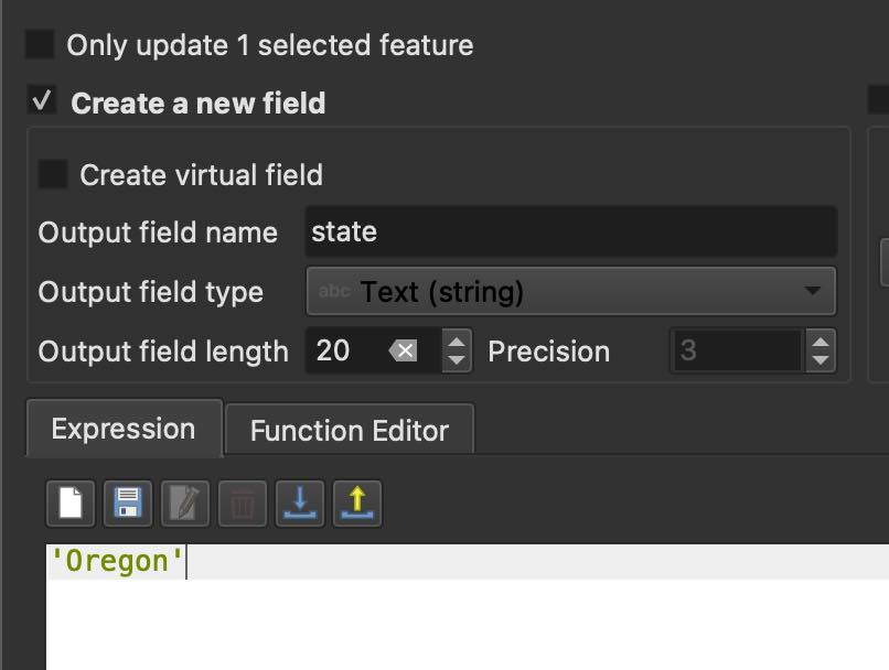
-
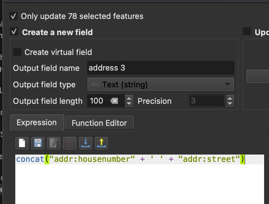
Open field calculator again. Concatenate the house number and the street, set as “address”, (It says address 3 because this is just my 3rd attempt in my effort to blaze a path for you.) Make sure the menu looks the same! Click ok.
-
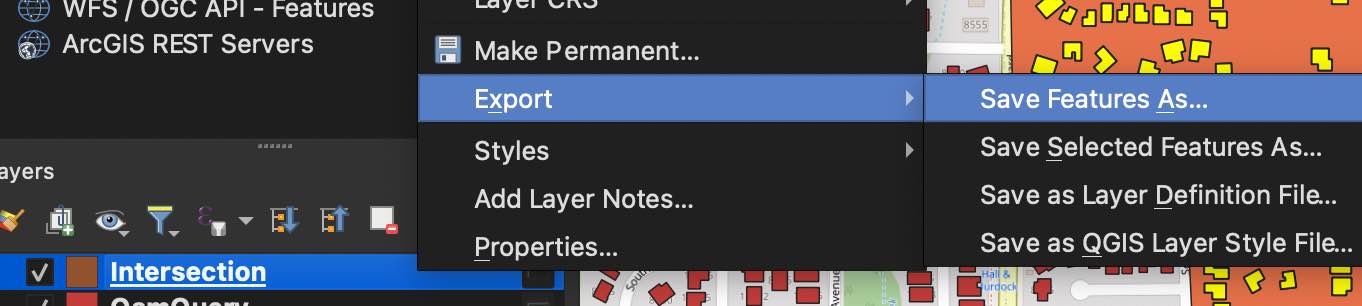
Export by right clicking on the the layer Export > Save Features As…
-
Select a folder and name the file.

-
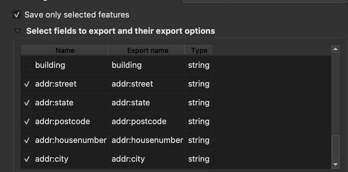
Save only the address columns, be sure to check the created “address” and “state” columns.
-
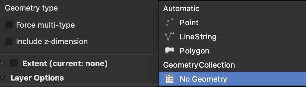
Select No Geometry.
-
Click Save.