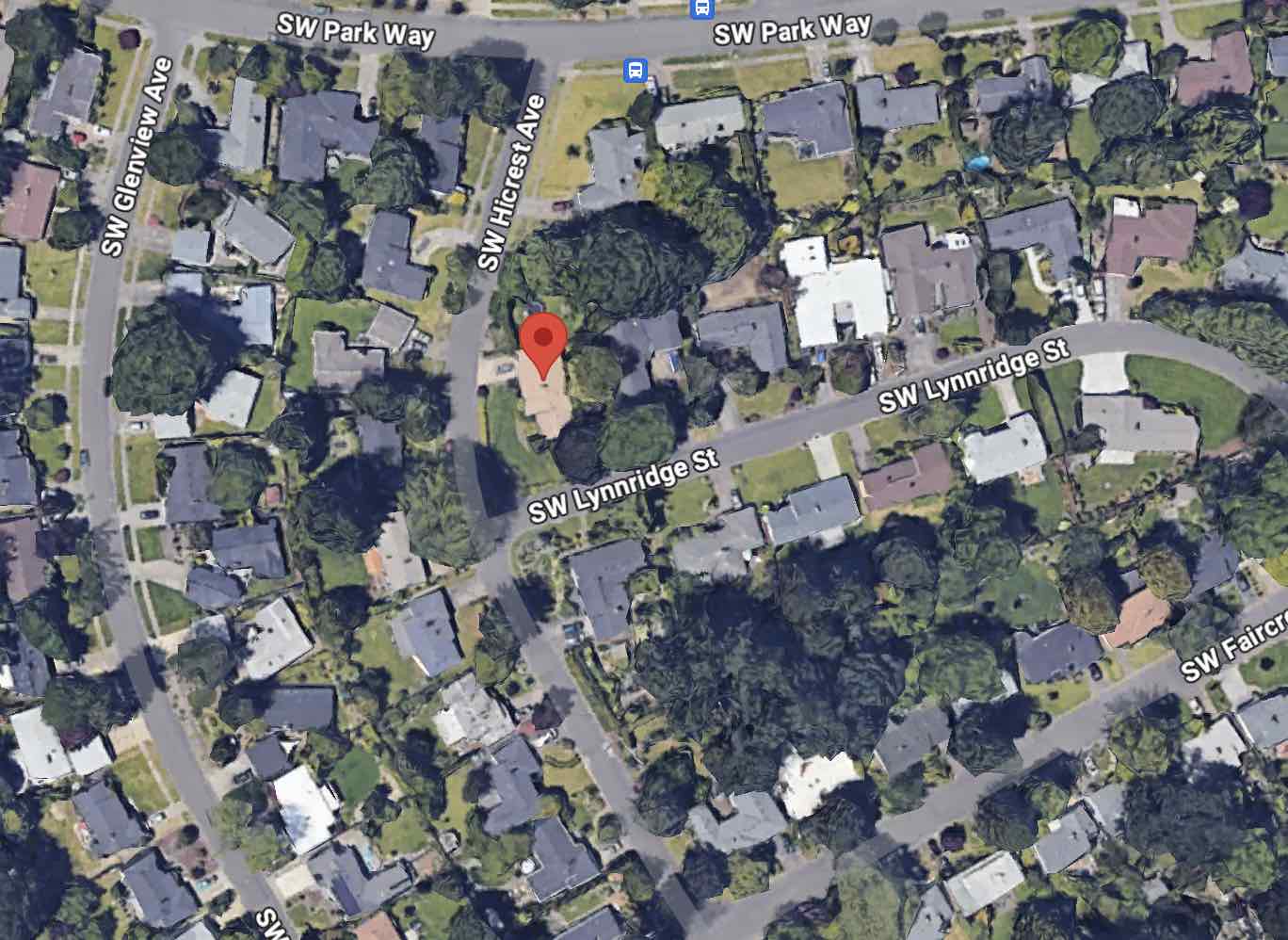
Using 1690 SW Hicrest Ave, Portland, OR 97225 as an example.
Neighborhood is tied with identity. Usually the area the people move around in is what they consider their neighborhood. Google helps with this by establishing a neighborhood name on google maps. At this level, you can’t see it.
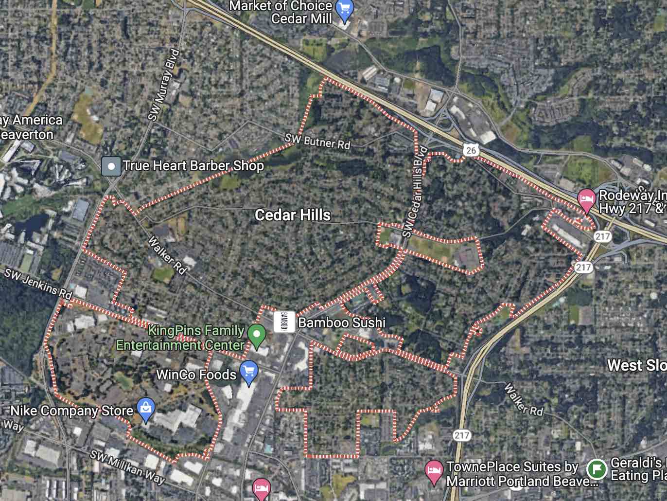
Zooming out a bit more we can see that this area has been designated Cedar Hills. When this happens, that’s great! It helps give us more information.
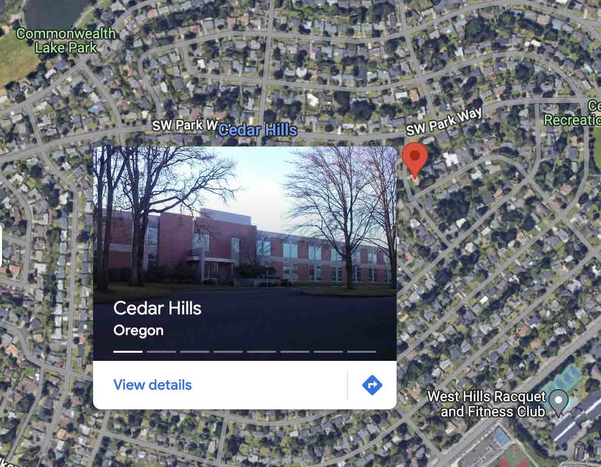
If this is the kind of region we’re looking for, great! This would be the full Cedar Hills area. If this area is too big for the use case, continue on.
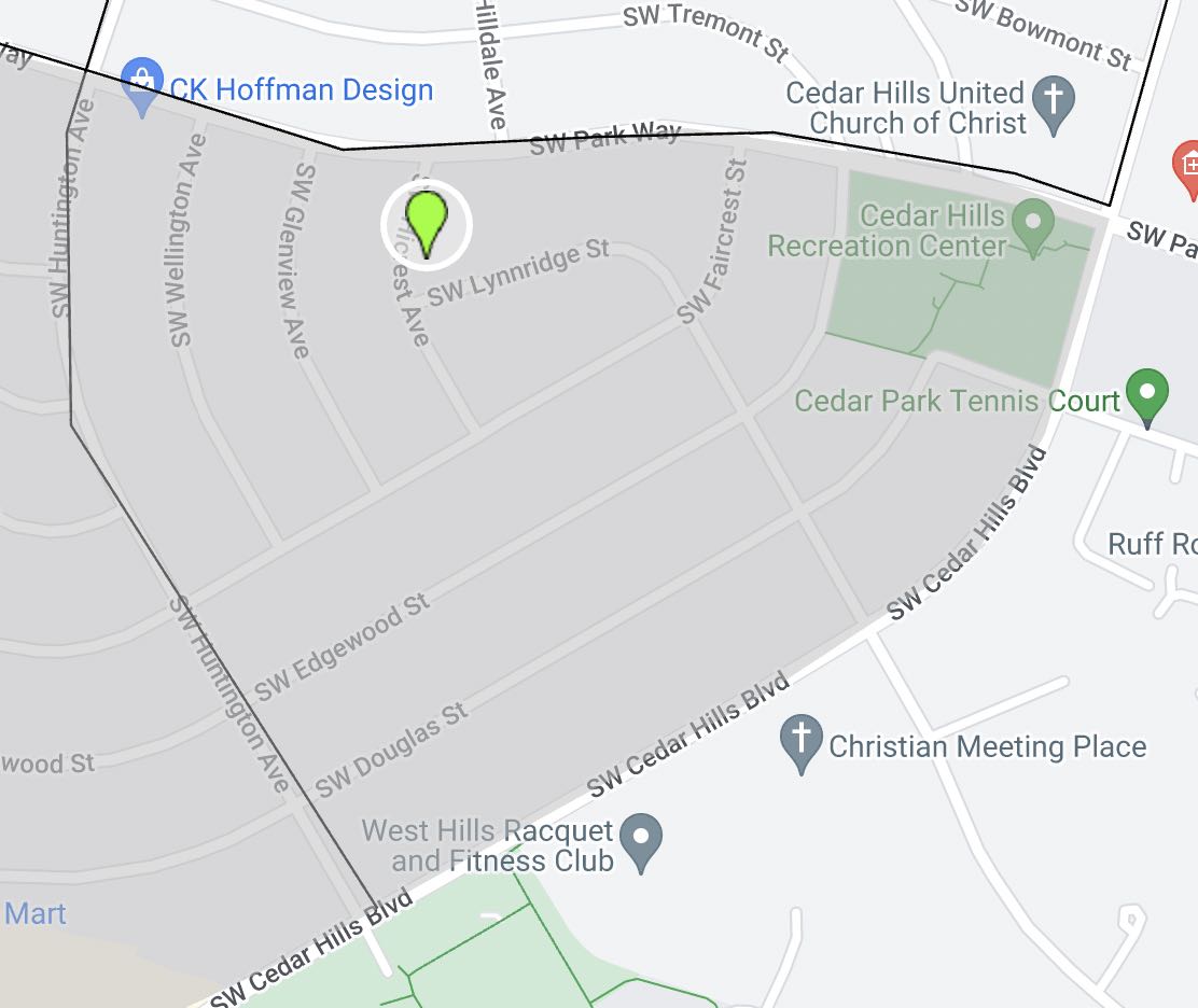
Because we create mental borders at physical barriers i.e. a river will denote the line between one country and another. In suburban areas, larger roadways perform this function. Think about walking a dog, you would not go past the exterior perimeter of your neighborhood. For a short walk, you might not leave the sub sections. This is an example of how the major roads create the envelope, and the through roads create the sub divisions.
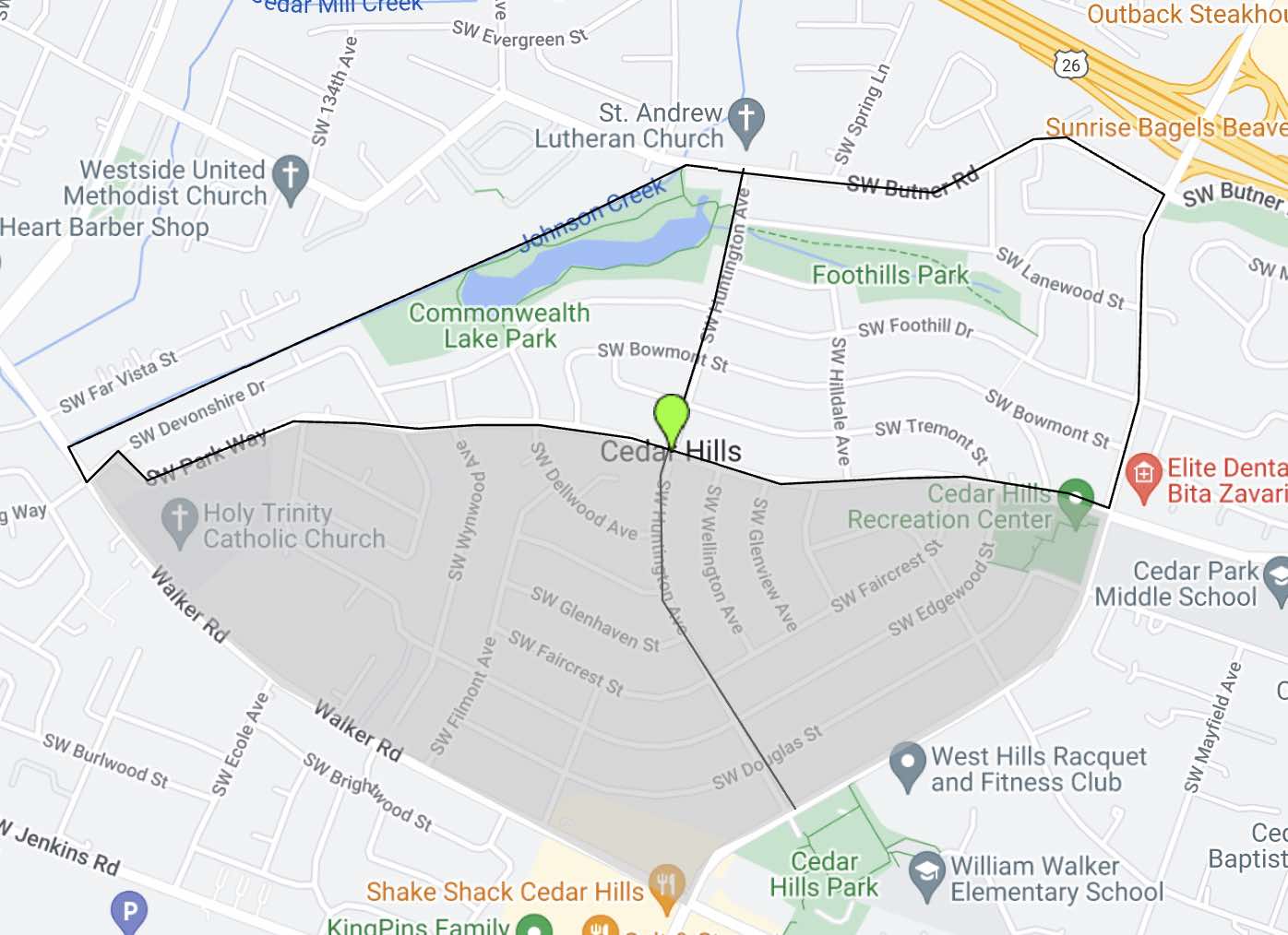
Our target address is in the bottom right sub division so, let’s use that as our area. This will probably return about 100 houses, which is a good, affordable number if we’re planning on doing something like a message from Neighborhood mailer marketing sop